FASTER WORKFLOW WITH SITE SURVEY
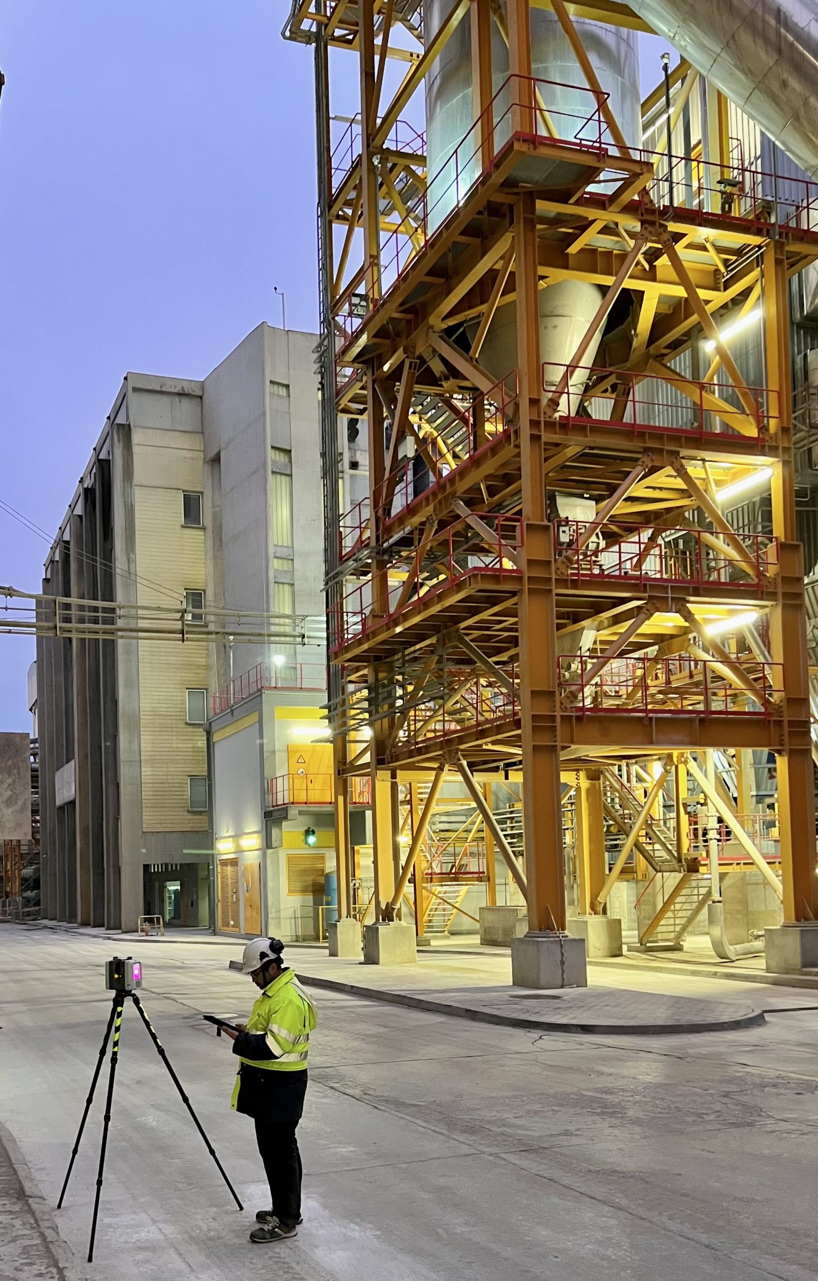
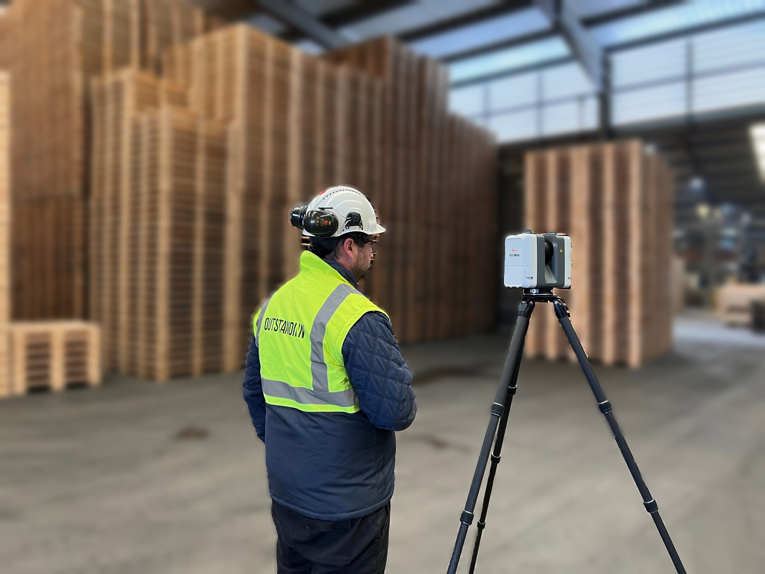
In an age where time-to-market is of the utmost importance to achieve the financial results that drive all investments, a fast and yet rigorous workflow is mandatory. OutStandINN is using Laser Scan technology on site surveys, in order to make project data acquisition faster, more reliable and in large quantities. Our team will go to site registering existing conditions on 3D cloud points, collecting large amounts of data that can later be processed by our engineering team. Our main objective is to optimize the engineering activities, with the consequential benefits to downstream activities like procurement or construction, thus improving overall project time-schedule.
LASER SCAN 3D
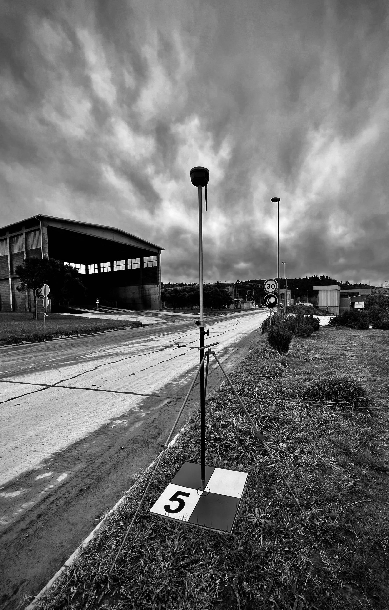
Site surveying is accomplished by means of state-of-the-art laser scanning. This technology is quickly becoming the industry standard because it is fast, cost effective and highly precise. Instead of taking discrete individual measurements, it can map the entire project site. Laser scanning is established as an efficient method of data capture in the field of plant design and construction, and as an industry standard of industrial plant surveying. Depending on project needs, it can be used on its own, or complemented with conventional topographic surveying when link to elevation or geographical coordinates is required.
POST PROCESSING BIG DATA
By mapping the project site, large amounts of data are collected, between the point cloud and the photographic report. This data is then compiled, filtered and noise reduced before being analysed. With the optimized data, an actual 3D model of the project site can be developed, that will allow further engineering activities, detailed measurements and clash analysis to be performed.
BROWNFIELD PROJECTS
Brownfield projects can present unique challenges for engineering teams due to the existing facilities that need to be expanded or revamped. A thorough understanding of the existing conditions is crucial before any engineering work can begin to make the right technology choices and sequence activities properly. Failure to do so can result in clashes between new and existing structures, causing costly delays and additional repair measures. Laser scan surveys are particularly useful in brownfield projects as they provide accurate data to support decision-making.
OutStandINN offers a dedicated survey team that can develop a detailed survey plan for any brownfield project, regardless of its size. The team can dispatch to the site and execute a comprehensive mapping of the project area using laser scan technology, which can be complemented with topographic survey if necessary. By doing so, OutStandINN can help engineering teams avoid potential pitfalls and ensure the success of the brownfield project.
AS-BUILT DOCUMENTATION
Existing facilities are live, organic, ever-changing units, either due to upgrades, expansions or simply because of turndown and maintenance outages. In most facilities, this means that most plant documentation and drawings are not updated, especially in older facilities where project and operation documentation only exist in paper or non-editable scan formats. The mismatch between the available documents and the actual facility layout can be the source of serious problems, specially taking into account employee rotation, where new employees can no longer rely on plant records to make adequate operational decisions. This can increase safety hazards, operational losses, maintenance costs, insurance premiums and problems during inspections and audits.
Laser scanning of existing facilities can tackle most of these issues, by allowing accurate and up-to-date information to be collected. The mapping of an entire facility can be performed in a matter of hours or days, depending on size and complexity, but the impact to daily operations is minimal, as most of the work is performed in the office after survey data is collected. With the point cloud and photographic scan, the entire facility can be modelled, and accurate measurements can be taken, allowing for the updating or creation of as-built drawings. With an editable 3D model and drawings available, future changes can be easily planned or made.


